Drone Roof Surveys and Aerial Inspections
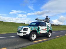
Roof surveys and building inspections using unmanned aerial vehicles (UAVs or 'drones') have become a more efficient data collection process for many building and construction projects, compared to traditional ground-based methods. Major cost savings and speed of collection are the main reasons why an increasing number of companies are using drone mapping software. Drone Photography Services, based in Cornwall, UK, uses various DJI drones with zoom cameras and the latest software to deliver efficient, high-quality surveying and mapping data.
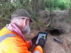
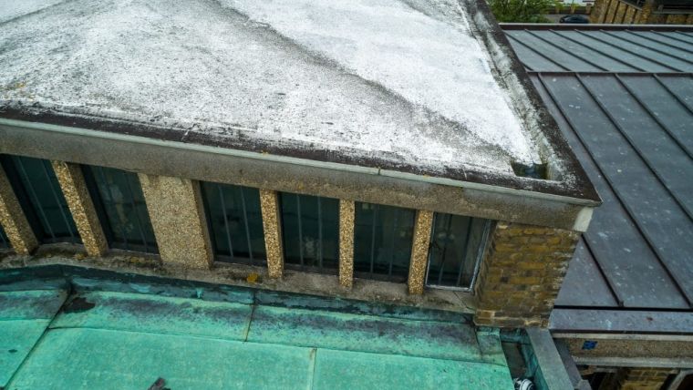
Drones are not practical in all surveying applications, but the company has recently done surveys of a church roof and structure for an architectural practice both internally and externally and a new building with roof membrane problems affected by seagulls for a structural engineering and quantity surveying company.
Drone Photography Services has about 20 years’ experience of building, roof and listed building repairs and construction. This gives them an advantage to go and do further investigation, to see any unusual issues with the roof or structure while the drone is in the air.
Aerial 360-degree panoramas
The company is offering linked 360° aerial panoramas to cover large rural and coastal areas when scale mapping of the areas is not a requirement. These aerial 360-degree panoramas can cover a large area taken every 250 metres and a height of 60 metres. The last one did cover 154 hectares. The application was to monitor change and plan habitat management.
The 360° panoramas can be used in conjunction with aerial inspections and drone roof surveys.
Here are three other applications Drone Photography Services are been contracted for drone surveys:
High-quality Drone Aerial Photography
The company captures current aerial photography every six to eight weeks of progress on building and development sites. Engineers, architects, planners and other technical professionals are using high-definition aerial photography to make important project decisions.
Damage Assessments
Drones can do fast damage assessments. After serious or extreme weather drones can capture the post-damage aerial imagery or topographic data required to plan and make critical decisions quickly.
Unsafe or Inaccessible Areas
Drones can be used to safely survey mines, quarries, protected wetlands, and other remote, restricted or hazardous locations. Because Drone Photography Services' control app use direct geo-referencing waypoint technology that does not require ground control points, pilots can stay out of harm’s way while collecting data from the sky.
Construction, oil and gas, mining, forestry and agriculture industries are all taking advantage of the Cornwall-based company’s drone surveying technology.

Value staying current with geomatics?
Stay on the map with our expertly curated newsletters.
We provide educational insights, industry updates, and inspiring stories to help you learn, grow, and reach your full potential in your field. Don't miss out - subscribe today and ensure you're always informed, educated, and inspired.
Choose your newsletter(s)