Found 407 results
Sort by

Who should define DEM quality and how?

The diversity of relief mapping methods and the existence of large elevation databases intended for multiple users raises the issue of DEM quality. Digital elevation model (DEM) accuracy is commonly...

Read more

Success for 90m Global DEM

PlanetObserver global Digital Elevation Model (DEM), with a 90m resolution worldwide, is successful since its launch last Automn 2010. The advantages ranging from a truly global coverage to reliable and...

Read more

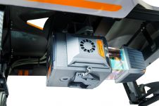
CHCNav introduces AlphaUni 20 Lidar system

The AlphaUni 20 (AU20) Lidar system represents a new era in cost-effective, multi-platform mobile mapping solutions, according to CHC Navigation (CHCNav), a global leader in precision mapping, positioning and navigation...

Read more