Woolpert to generate DTM and contours for University of Wyoming
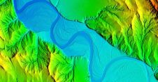
Woolpert has secured a contract with the University of Wyoming to generate a digital terrain model and contours. Leveraging Lidar data previously acquired for the United States Geological Survey (USGS),...