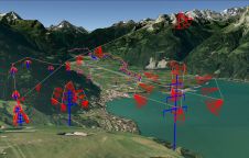
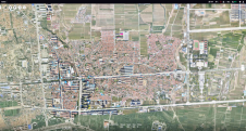
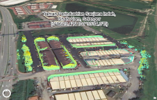
Found 316 results
Sort by

Aerial Surveying Just Got Smart

Surveyors and GIS professionals have the highest standards when it comes to their tools and trade. It is therefore no wonder that many surveyors are turning to drones for their mapping and...

Read more

Vegetation Mapping Using Multispectral UAV Images

DJI recently introduced the P4 multispectral, a high-precision unmanned aerial vehicle (UAV or ‘drone’) which exploits the integration of multispectral cameras to facilitate agricultural and environmental monitoring applications. Therefore, imagery...

Read more