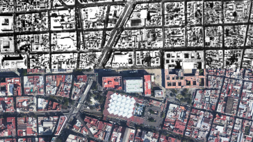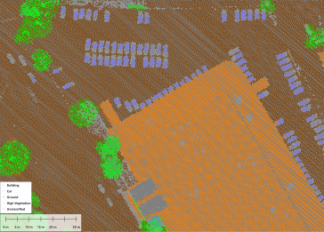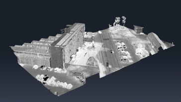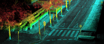
How mapping experts built the biggest 3D dataset of Alcatraz Island
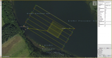
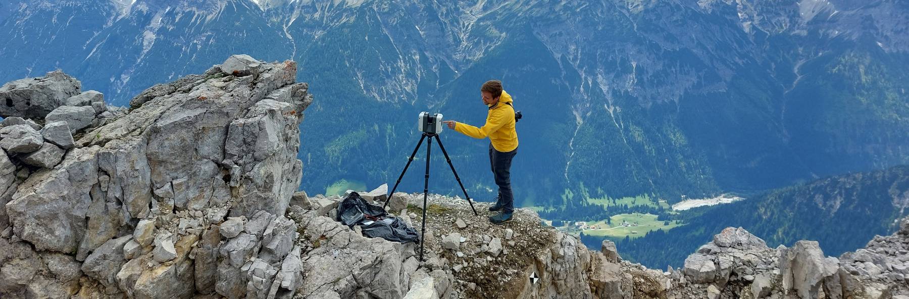
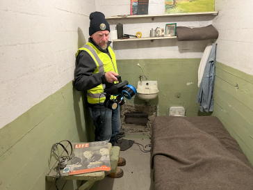
The rugged 22.5-acre site of the notorious US island prison Alcatraz has been digitally captured in a world-leading project involving multiple mapping technologies. With the team camped in the jail�...