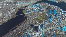
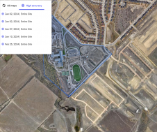
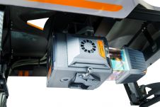
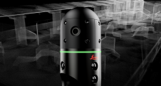
Found 2840 results
Sort by

3D geospatial visualization

3D visualization is at the heart of many geospatial data applications. Progress in 3D visualization has drastically reduced barriers to entry for new products based on large datasets, thanks to...

Read more

Sven Cowan

Sven Cowan is NV5 Geospatial’s Programme Manager for Canada. He has over 20 years of experience in customer-facing positions within the geospatial information industry and has worked for multiple geospatial...

Read more

CHCNav introduces AlphaUni 20 Lidar system

The AlphaUni 20 (AU20) Lidar system represents a new era in cost-effective, multi-platform mobile mapping solutions, according to CHC Navigation (CHCNav), a global leader in precision mapping, positioning and navigation...

Read more

Redefining reality capture with BLK2GO PULSE

Leica Geosystems, part of Hexagon, has officially announced the Leica BLK2GO PULSE. This innovative first-person laser scanner merges state-of-the-art Lidar sensor technology with the iconic Leica BLK2GO design, representing a...

Read more